Water temperature in Canada
Pacific 14.7 °C, Atlantic 15.4 °C, Fraser River 13.1 °C. The coldest spot is Kazan River, Kazan Falls at 0.3 °C. As of October 17, 2026, 392 locations from Water Survey of Canada, NOAA NDBC and ECCC.
- coldest 0.3°
- average 9.2°
- warmest 17.6°
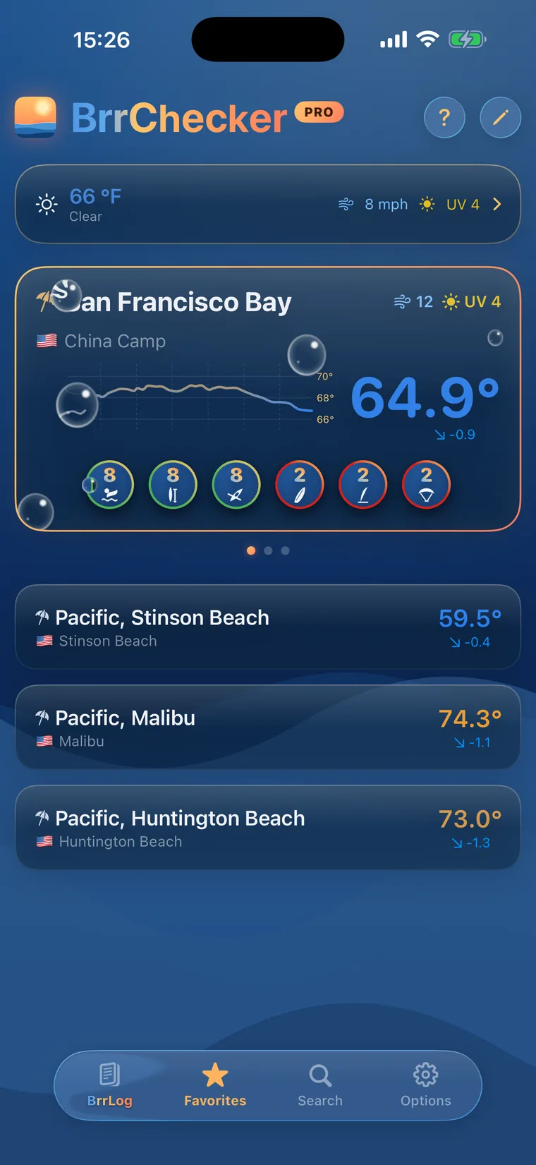
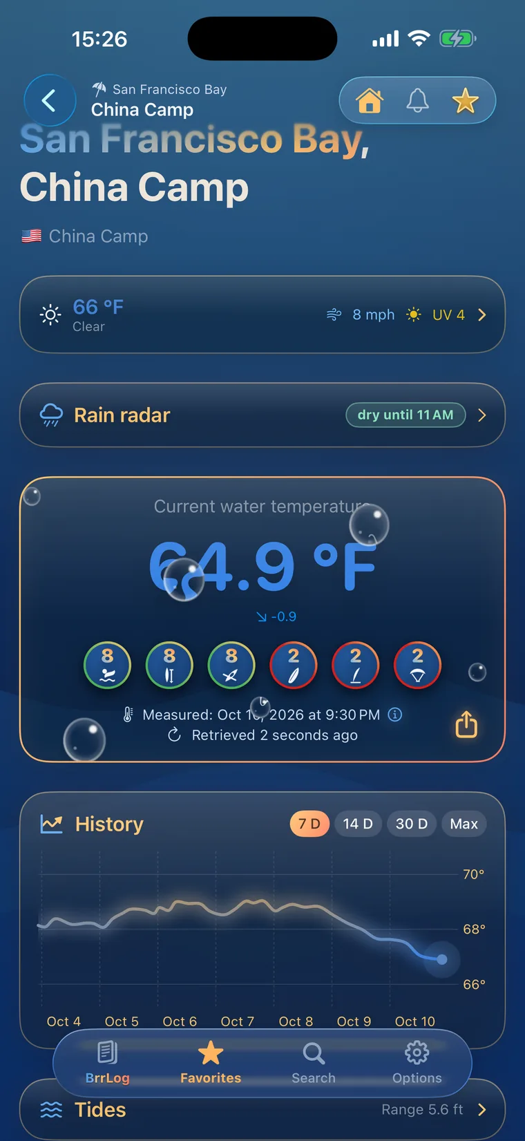
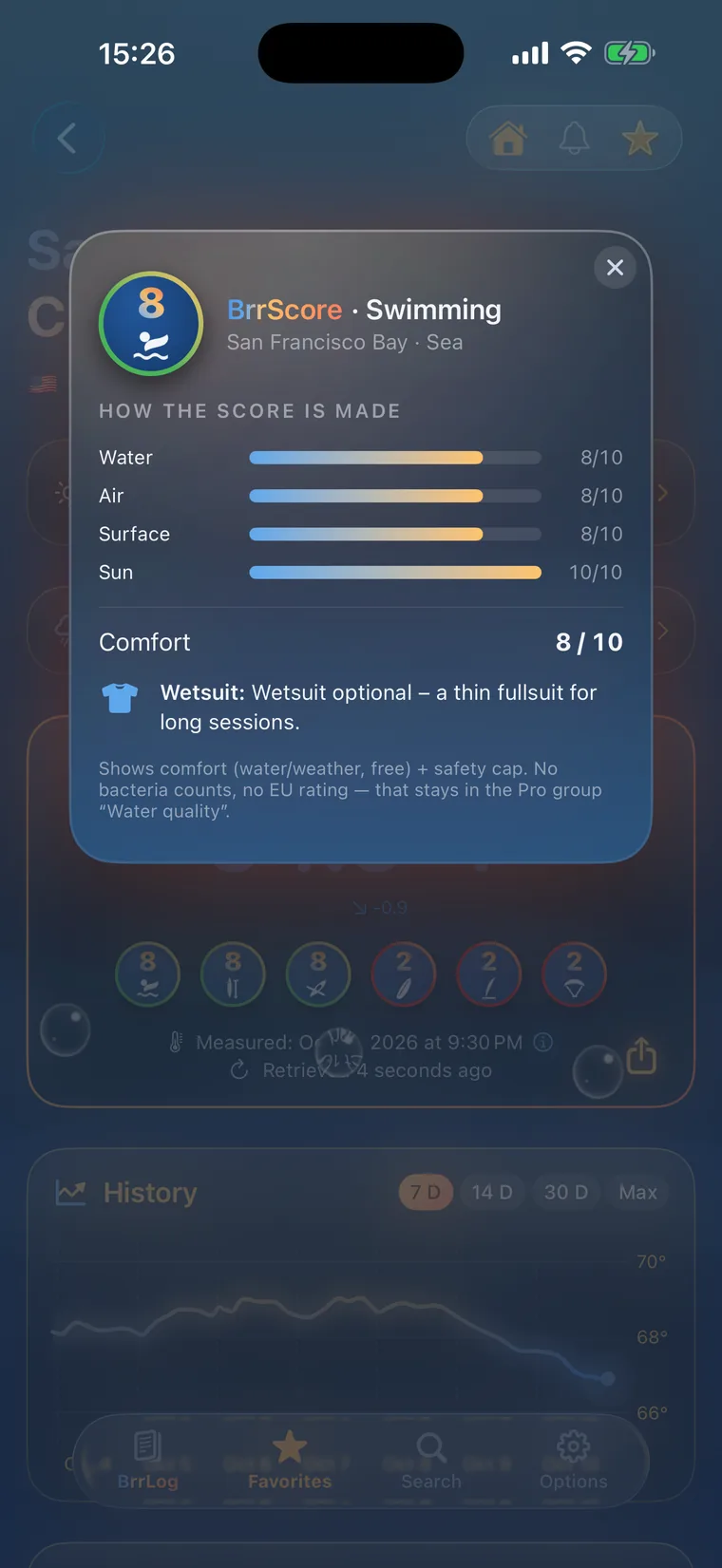
 History, BrrScore and warnings for every spot – in the app.
The warmest spot of each kind of water
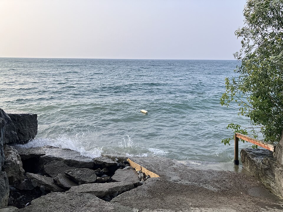
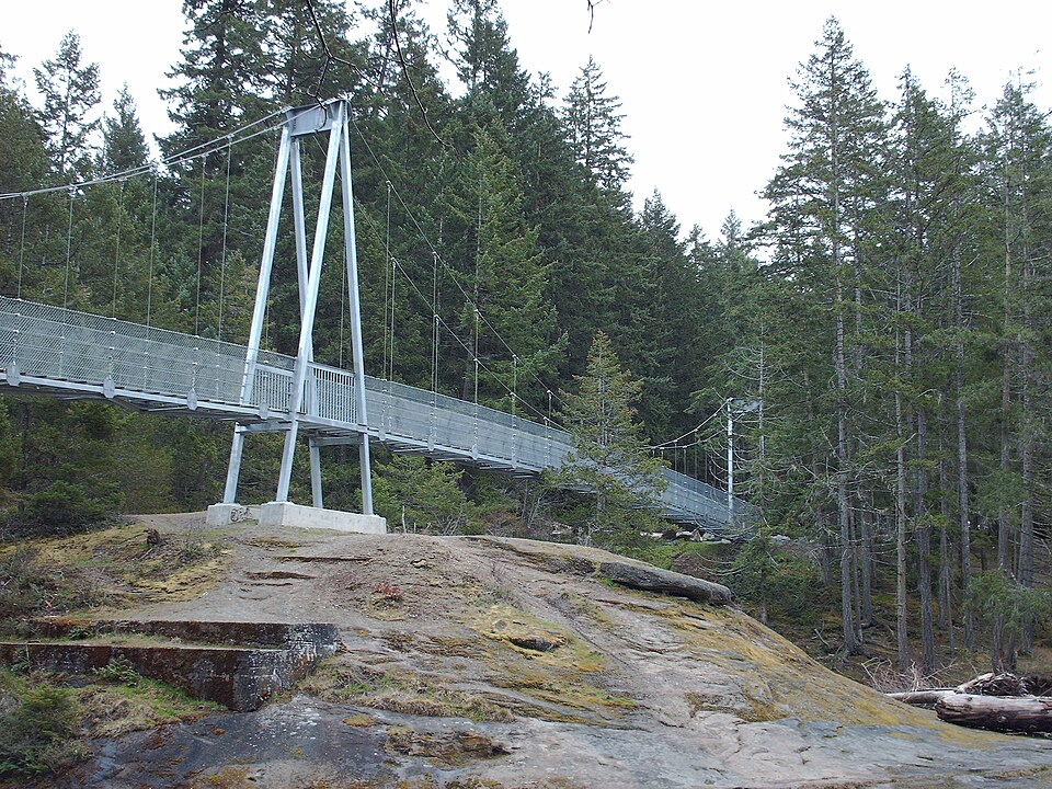
Great Lakes, rivers and two oceans
Canada swims in the Pacific, the Atlantic, the Great Lakes and a vast network of rivers and inland lakes. The season is short and centred on July and August. The Pacific off British Columbia stays cool all year, while sheltered bays on the Atlantic side warm noticeably by midsummer. Lake Ontario and Lake Huron are strongly shaped by wind. Rivers like the Fraser, Thompson and Okanagan run high with cold snowmelt in early summer and become more inviting later in the season.
The backbone of the 407 sites is the Water Survey of Canada, with 325 stations on rivers and lakes. NOAA NDBC buoys cover the Great Lakes and the Pacific coast, and Environment and Climate Change Canada adds further stations. The City of Toronto supplies readings from its beaches on Lake Ontario. A few beaches without a sensor show the value of the nearest station and say so, while a small number of coastal spots rely on the Open-Meteo marine model and carry a model label.
Provincial and municipal health units sample beach water during the season and post swimming advisories when bacteria counts rise. On the Great Lakes, an offshore wind can bring cold water to the surface within a day, sending nearshore temperatures down sharply, while onshore wind can create rip currents. In rivers, current and cold water are the main risks, especially during the spring melt. Further north, even midsummer water stays fresh.
Canada, region by region
8 regions, each with today's range and its best-known spots. Tap one to open the region's list.

392 spots, 3 kinds of water
© BrrChecker – all rights reserved. The compilation, texts, images and BrrScore are protected; the readings belong to the sources named. Automated extraction is not permitted.
383 readings are measurements from official and open networks, above all Water Survey of Canada, NOAA NDBC and ECCC; 9 values come from models. Beyond temperature, this page carries tides for 37 coastal spots, water level or discharge at 300 gauges and wave height at 42 buoys.
By region, with today's reading
Pacific26 spots
Atlantic14 spots
Fraser River11 spots
Lake Ontario6 spots
Thompson River5 spots
Salmon River5 spots
Lake Huron4 spots
Okanagan River4 spots
Other waters and lidos317 spots
Check first, then swim.
All 392 spots with history, BrrScore and alerts, free in the app.