Water temperature in Hungary
Tisza 24.4 °C, Hármas-Körös 14.6 °C, Berettyó 13.1 °C. The coldest spot is Sió, Simontornya at 6.9 °C. As of October 16, 2026, 53 locations from OVF (vizugy.hu).
- coldest 6.9°
- average 13.3°
- warmest 28.6°
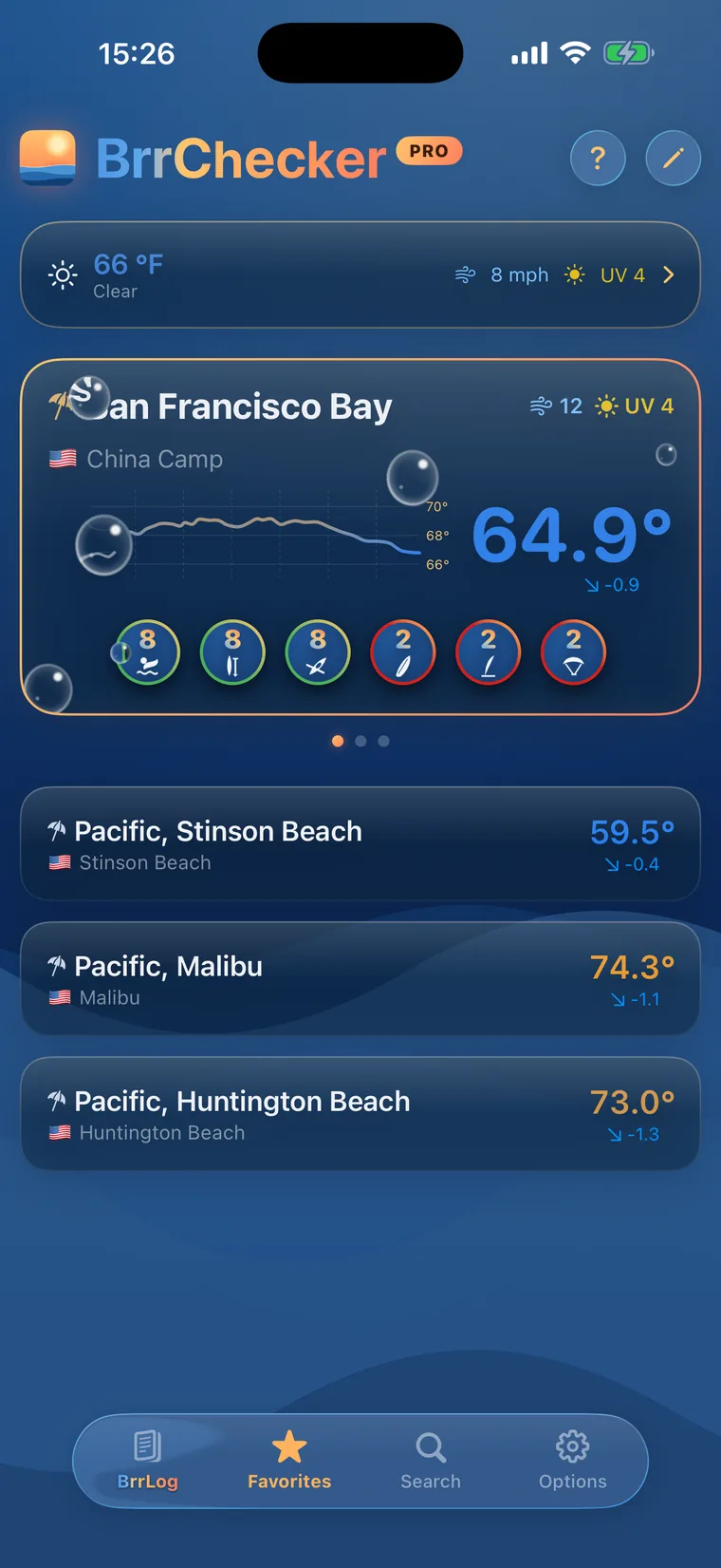
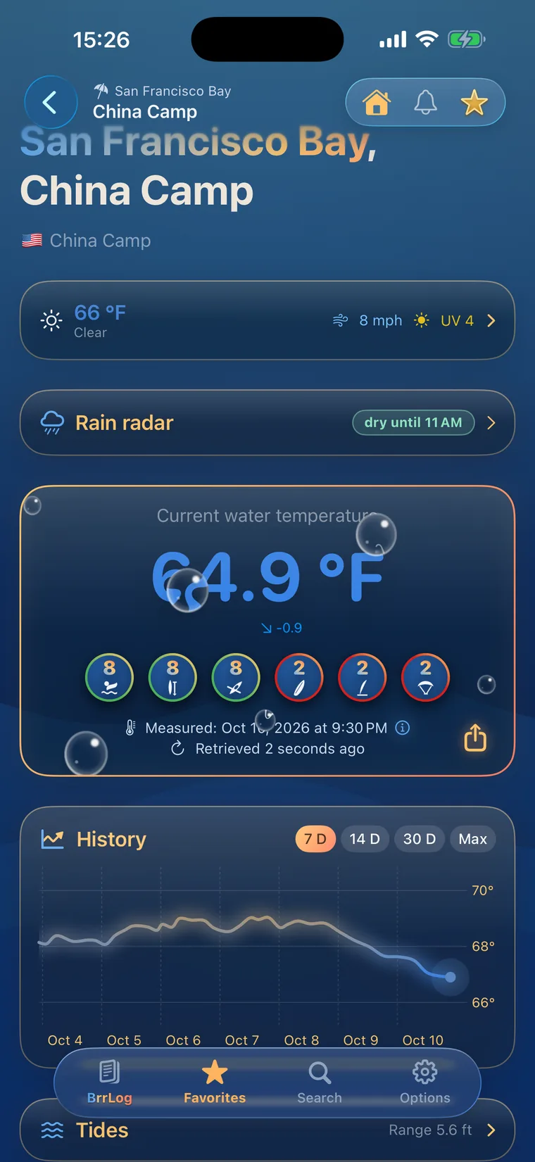
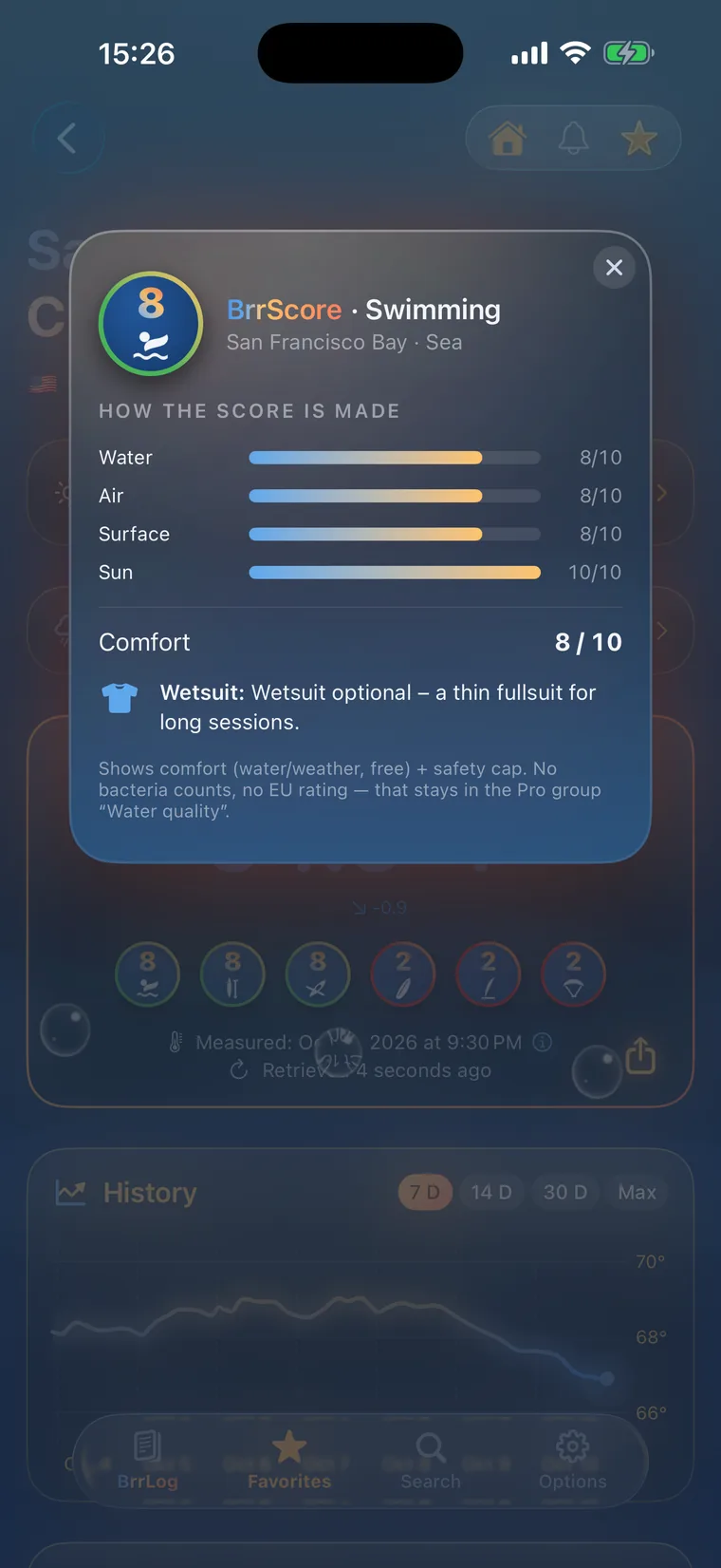
 History, BrrScore and warnings for every spot – in the app.
The warmest spot of each kind of water
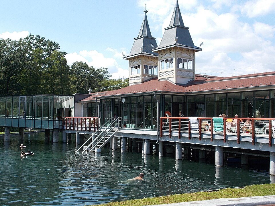
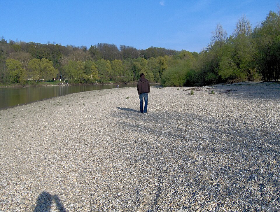
Lake Balaton, the Tisza and beyond
Hungary has no coastline, so swimming happens in Lake Balaton, in rivers and in thermal lakes. Balaton is large and shallow, warms up quickly in early summer and reaches its highest values in July and August. Because it is so shallow, it reacts strongly to wind and sudden changes in the weather. The Tisza and its tributaries, among them the Körös, Bodrog, Sajó, Maros and Szamos, shape the east of the country. They grow warm in high summer, and the Tisza is lined with river beaches.
All 53 sites come from OVF, Hungary's General Directorate of Water Management, whose measurements are published on vizugy.hu. Most of them are on rivers, especially in the Tisza basin, with lakes represented by a few points including Balaton. The values are measured rather than modelled. Coverage of the Danube and of many swimming lakes is still patchy in this dataset.
Health authorities test bathing waters during the season and rate them from excellent to poor under the EU Bathing Water Directive. Around Lake Balaton, flashing yellow lights along the shore warn of rising wind, and when they flash rapidly, swimming beyond the shore zone is not allowed. Thunderstorms can build over the lake with little warning. In rivers such as the Tisza, current and changing water levels need attention, especially after rain upstream.
Hungary, region by region
8 regions, each with today's range and its best-known spots. Tap one to open the region's list.
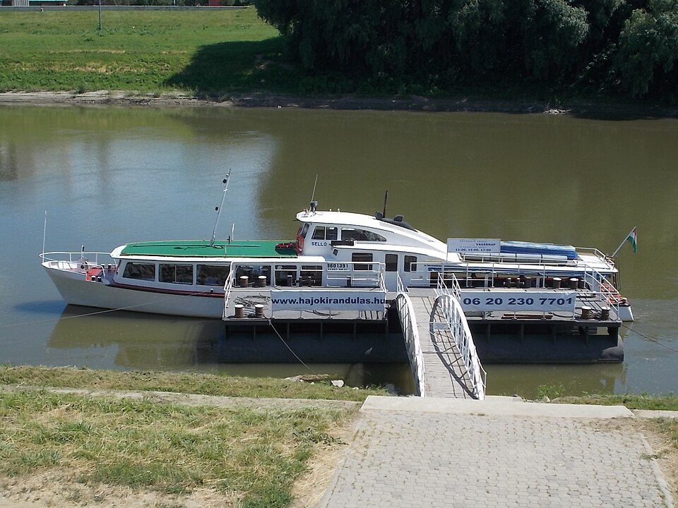
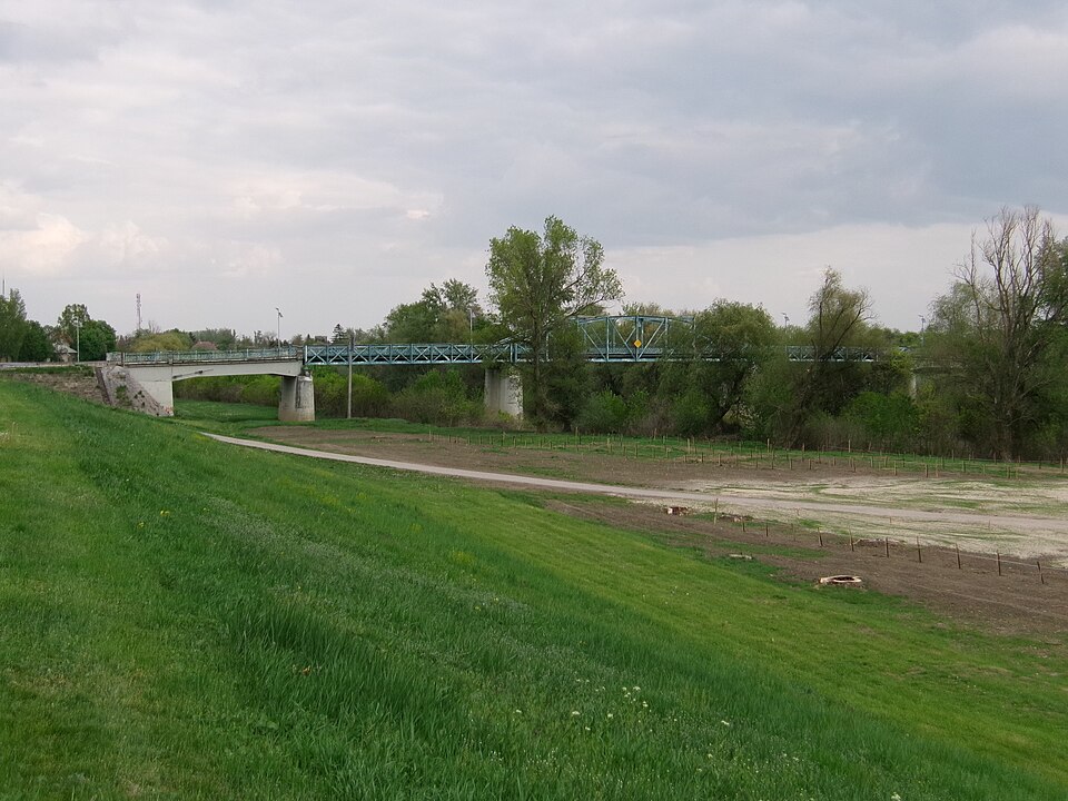
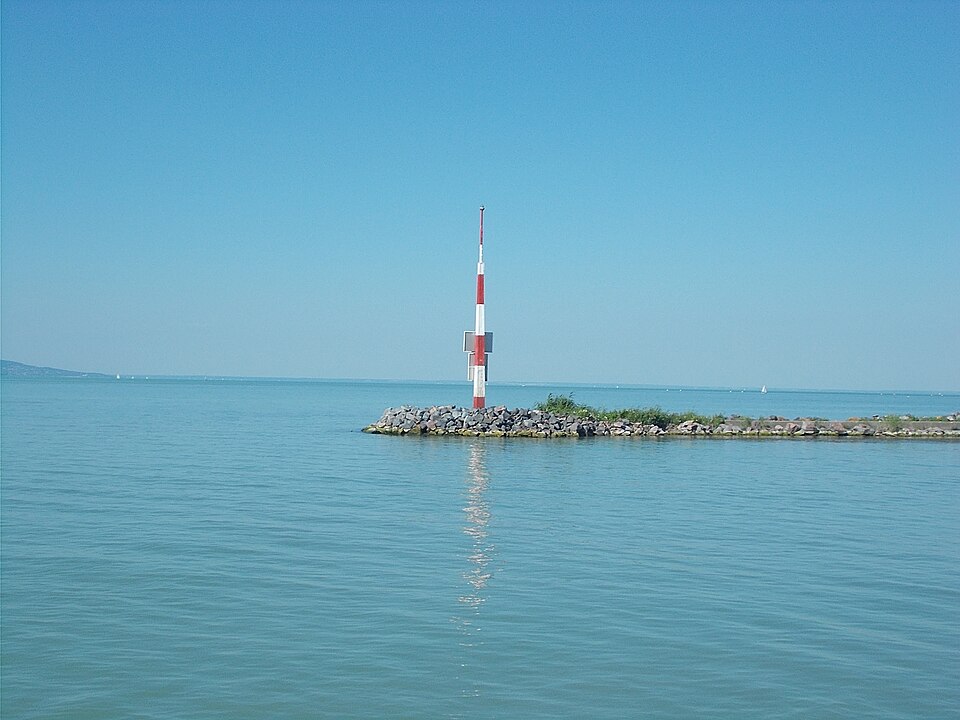

53 spots, 2 kinds of water
© BrrChecker – all rights reserved. The compilation, texts, images and BrrScore are protected; the readings belong to the sources named. Automated extraction is not permitted.
All 53 readings are measurements from official and open networks, above all OVF (vizugy.hu). Beyond temperature, this page carries water level or discharge at 51 gauges.
By region, with today's reading
Tisza17 spots
Hármas-Körös4 spots
Berettyó3 spots
Balaton2 spots
Bodrog2 spots
Maros2 spots
Sajó2 spots
Bódva-patak2 spots
Other waters and lidos19 spots
Check first, then swim.
All 53 spots with history, BrrScore and alerts, free in the app.