Water temperature in Mexico
Pacific 33.0 °C, Karibik 29.9 °C, Gulf of Mexico 29.8 °C. The coldest spot is Pacific, Rosarito at 21.7 °C. As of October 16, 2026, 29 locations from Open-Meteo marine model.
- coldest 21.7°
- average 29.9°
- warmest 33.0°
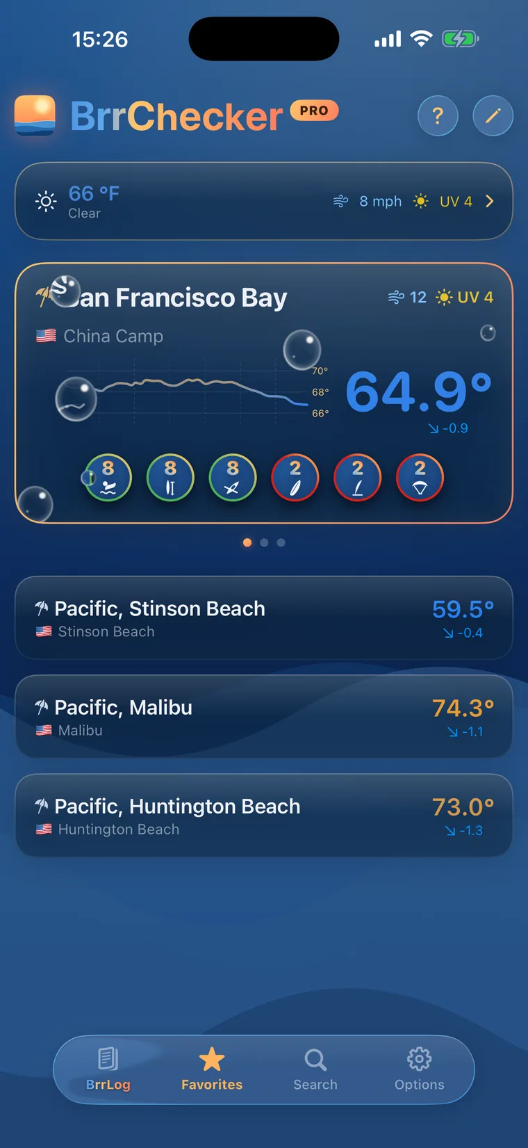
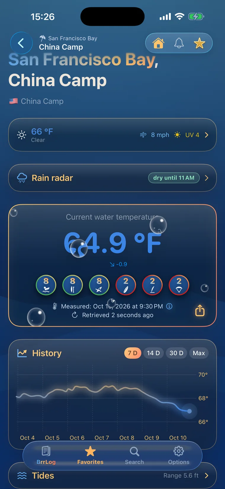
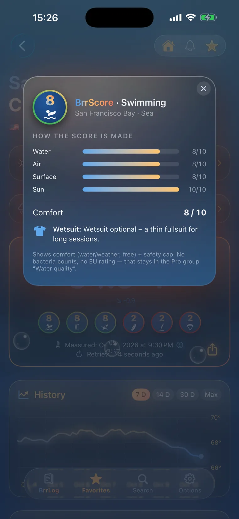
 History, BrrScore and warnings for every spot – in the app.
The warmest spot of each kind of water
Mexico's Pacific and Caribbean coasts
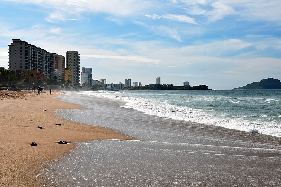
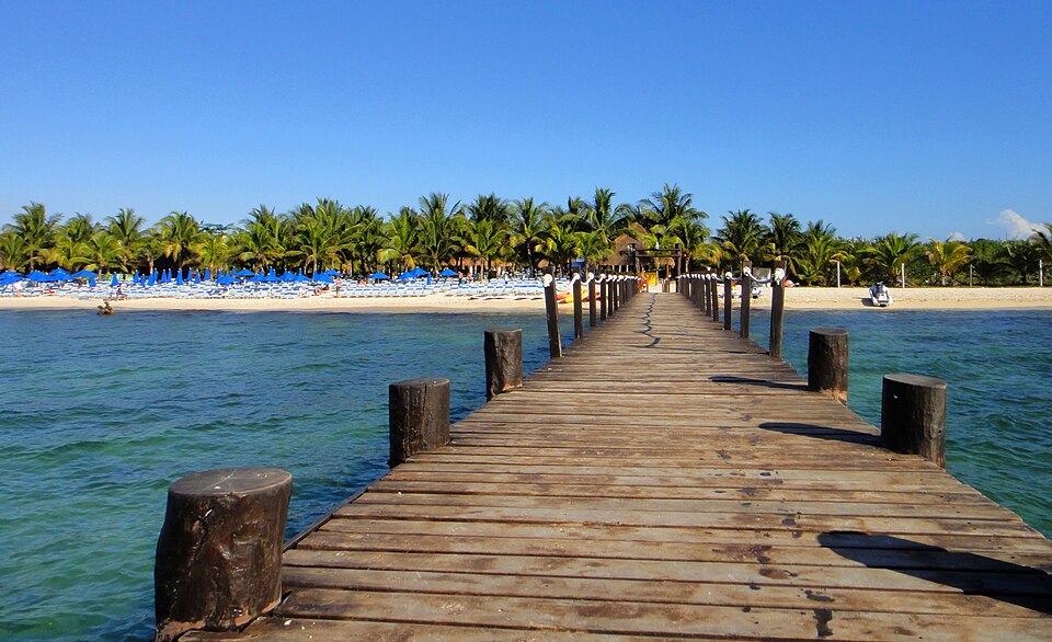
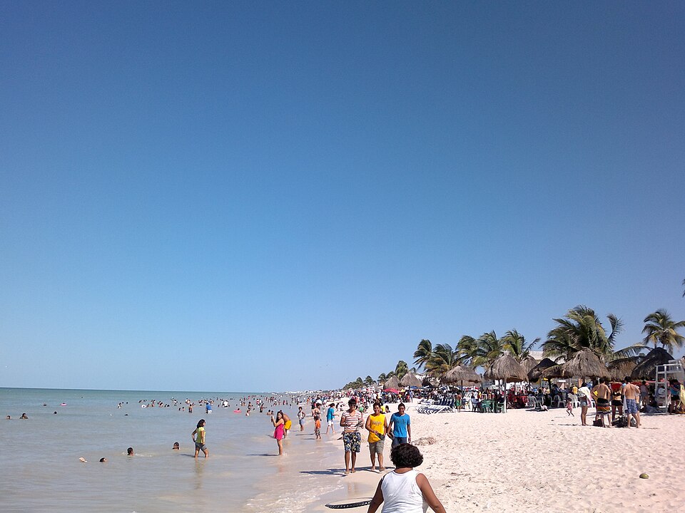
Mexico has coastlines on the Pacific, the Caribbean and the Gulf of Mexico. The Caribbean coast of the Yucatán Peninsula and the Gulf are warm all year. On the Pacific side, location matters: off Baja California in the north, the cold California Current keeps the water noticeably fresher, while further south it becomes tropical. Hurricane season runs from June to November, and storms can change waves, currents and water quality for days at a time.
All 29 sites rely on modelled values. Temperatures come from the Open-Meteo marine model, which calculates sea surface temperature just offshore, and the app labels them as model values. They reflect conditions along a stretch of coast well but may differ in lagoons or shallow bays. Measured readings from Mexican stations are not yet part of this dataset. Beaches are tested by the health authorities independently of these figures.
The federal health risk agency and state health services sample water quality at bathing beaches and publish the results. On the Pacific coast, surf and rip currents are strong at many beaches, and lifeguarded stretches use flags to show whether swimming is advisable. Sargassum seaweed can wash up on the Caribbean coast during the warmer months. During hurricane season, it is worth keeping an eye on official warnings.
Mexico, region by region
3 regions, each with today's range and its best-known spots. Tap one to open the region's list.
29 spots, one kind of water
© BrrChecker – all rights reserved. The compilation, texts, images and BrrScore are protected; the readings belong to the sources named. Automated extraction is not permitted.
Beyond temperature, this page carries tides for 14 coastal spots and wave height at 28 buoys.
By region, with today's reading
Pacific17 spots
Karibik10 spots
Gulf of Mexico2 spots
Check first, then swim.
All 29 spots with history, BrrScore and alerts, free in the app.