Water temperature in Germany
Baltic Sea 15.5 °C, North Sea 20.5 °C, Donau 17.6 °C. The coldest spot is Pröbstingsee, Pröbstingsee – Badestelle at 2.8 °C. As of October 16, 2026, 1,725 locations from Badewasserkarte M-V (LAGuS), Badestellen Brandenburg (LAVG) and Badegewässer Schleswig-Holstein (Open Data SH).
- coldest 2.8°
- average 17.7°
- warmest 29.5°
 History, BrrScore and warnings for every spot – in the app.
The warmest spot of each kind of water

Lakes, rivers and two seas
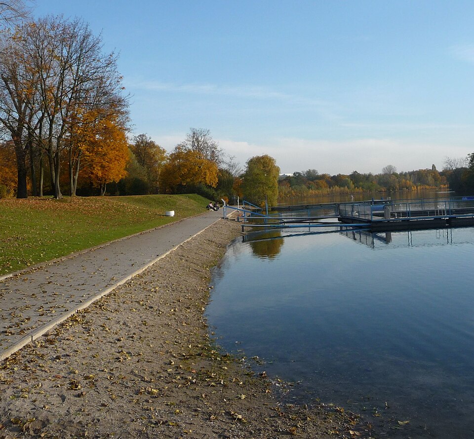
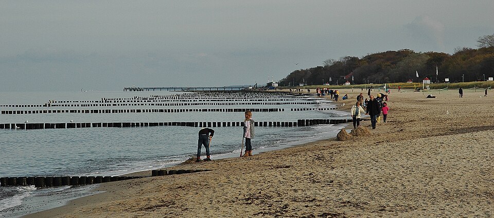
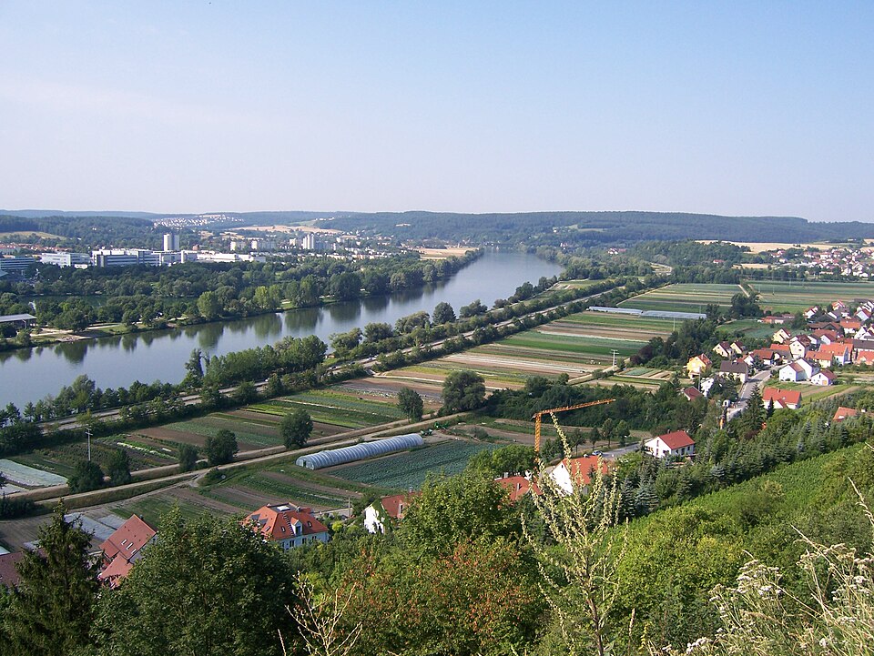
Swimming in Germany is mostly a lake affair. The Mecklenburg Lake District around the Müritz, the countless lakes of Brandenburg and the deep pre-Alpine lakes of Bavaria are where most people head in summer, alongside the North Sea and Baltic coasts and large rivers such as the Elbe, Main, Weser and Danube. Shallow lakes warm up quickly in early summer, while Lake Constance and the deeper Alpine lakes take their time and usually peak in August. Sheltered Baltic lagoons like the Greifswalder Bodden warm earlier than the open coast.
The 1782 sites shown here rest largely on the bathing water portals of the federal states. The Badewasserkarte M-V run by LAGuS accounts for 435 of them, followed by Badestellen Brandenburg from LAVG and the Badegewässer Schleswig-Holstein dataset. Those temperatures are recorded when officials take water samples, so they arrive at intervals rather than continuously. Continuous measurements come from PEGELONLINE gauges on federal waterways and from GKD Bayern, the Bavarian hydrological service, which covers rivers and lakes across the state.
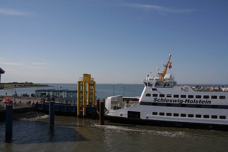
Every designated bathing site in Germany is tested through the season and rated excellent, good, sufficient or poor under the EU Bathing Water Directive. Blue-green algae can appear during warm spells, and local health offices then post warnings or close the site. On the North Sea, tidal currents and channels in the mudflats are the main hazards, and onshore wind can create rip currents on the Baltic. In rivers, watch for current, shipping traffic and colder water just below a warm surface.
Germany, region by region
8 regions, each with today's range and its best-known spots. Tap one to open the region's list.
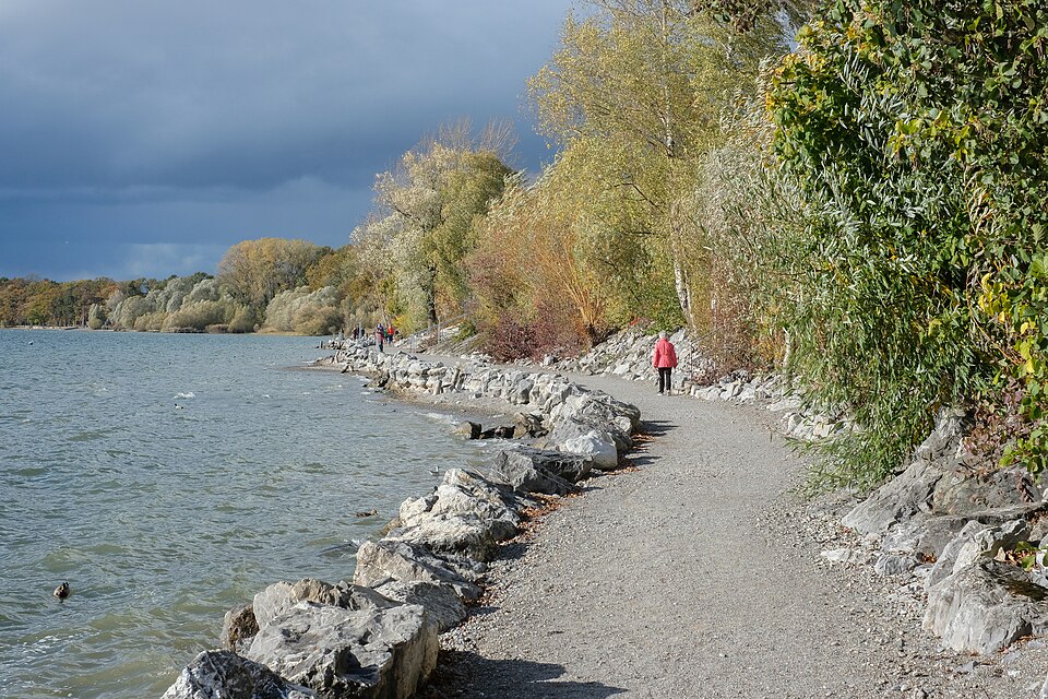
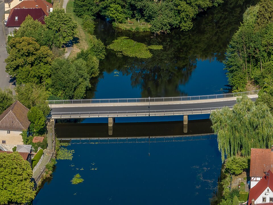
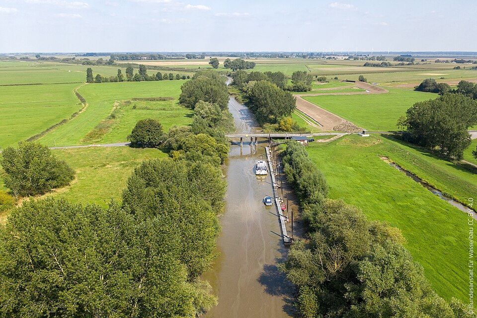
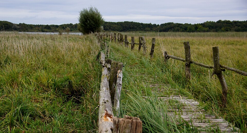
1,725 spots, 4 kinds of water
1,680 readings are measurements from official and open networks, above all Badewasserkarte M-V (LAGuS), Badestellen Brandenburg (LAVG) and Badegewässer Schleswig-Holstein (Open Data SH); 45 values come from models. Beyond temperature, this page carries 1,246 official bathing-water ratings, tides for 42 coastal spots, water level or discharge at 255 gauges and wave height at 70 buoys.
© BrrChecker – all rights reserved. The compilation, texts, images and BrrScore are protected; the readings belong to the sources named. Automated extraction is not permitted.
Germany is the densest network in BrrChecker: the bathing-water networks of Mecklenburg-Vorpommern, Brandenburg and Schleswig-Holstein cover the lakes with samples taken through the bathing season, while PEGELONLINE, Bavaria's hydrological service and North Rhine-Westphalia's LANUV report the rivers hourly. The coast and the North Sea islands come from PEGELONLINE gauges and buoys. Bathing-water samples are seasonal; river gauges measure all year.
By region, with today's reading
Baltic Sea66 spots
North Sea49 spots
Donau21 spots
Lake Constance20 spots
Main18 spots
Elbe16 spots
Weser16 spots
Müritz15 spots
Other waters and lidos1,504 spots
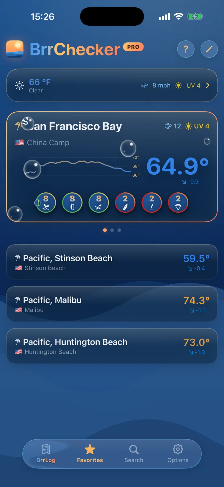
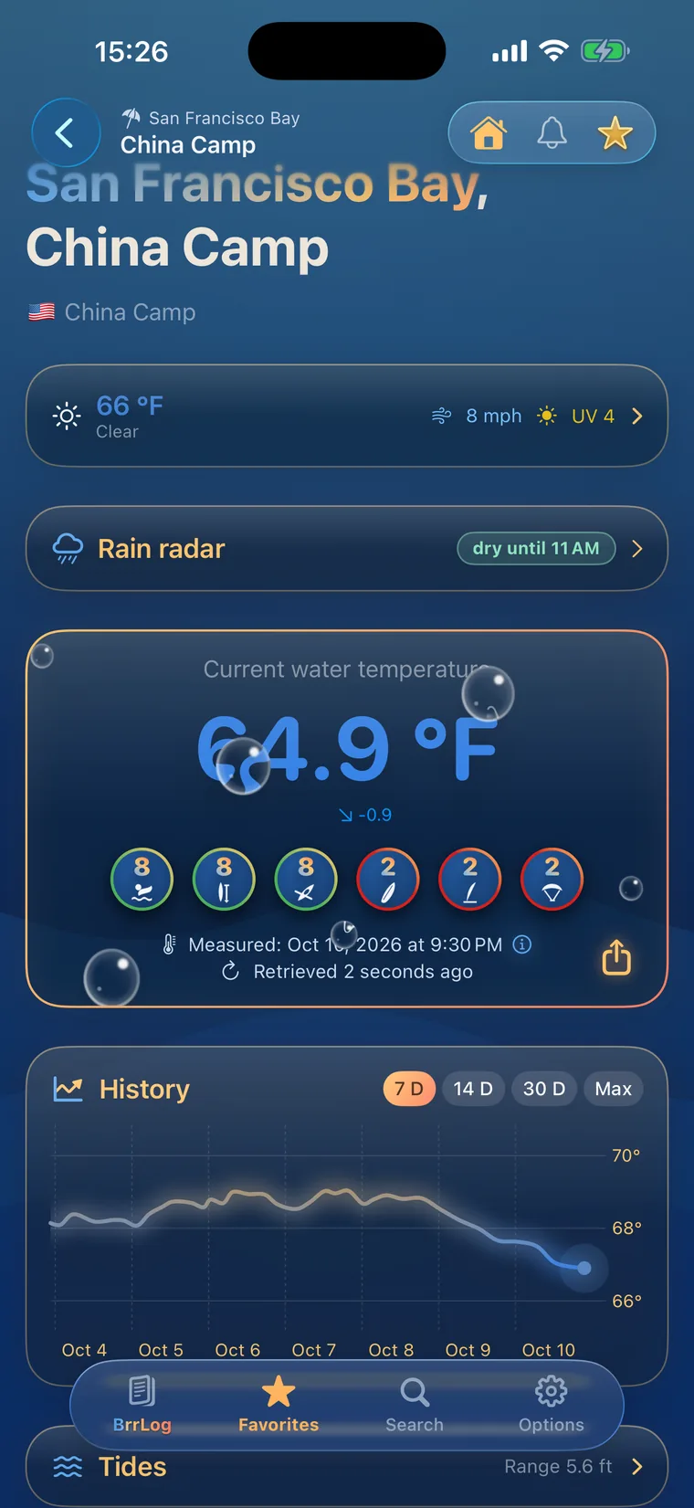
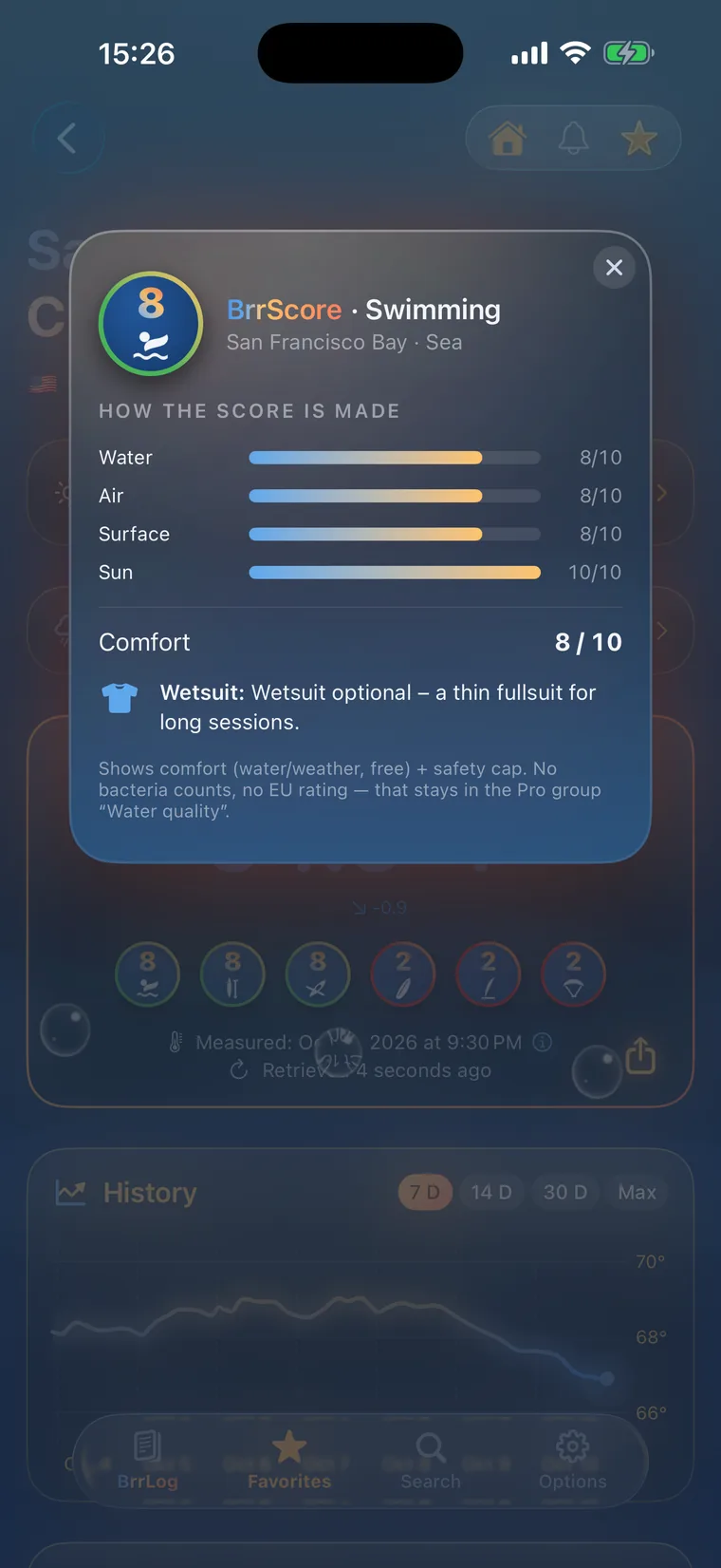
Check first, then swim.
All 1,725 spots with history, BrrScore and alerts, free in the app.