Water temperature in the Netherlands
North Sea 17.3 °C, Hollandse Kust 17.1 °C, Rilland 16.7 °C. The coldest spot is Eefde, sluis, beneden at 12.7 °C. As of October 17, 2026, 149 locations from Rijkswaterstaat and Copernicus Marine Service.
- coldest 12.7°
- average 16.4°
- warmest 28.2°
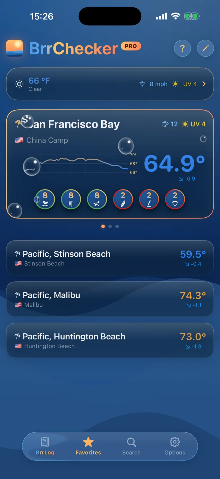
 History, BrrScore and warnings for every spot – in the app.
The warmest spot of each kind of water

Dutch coast, rivers and lakes
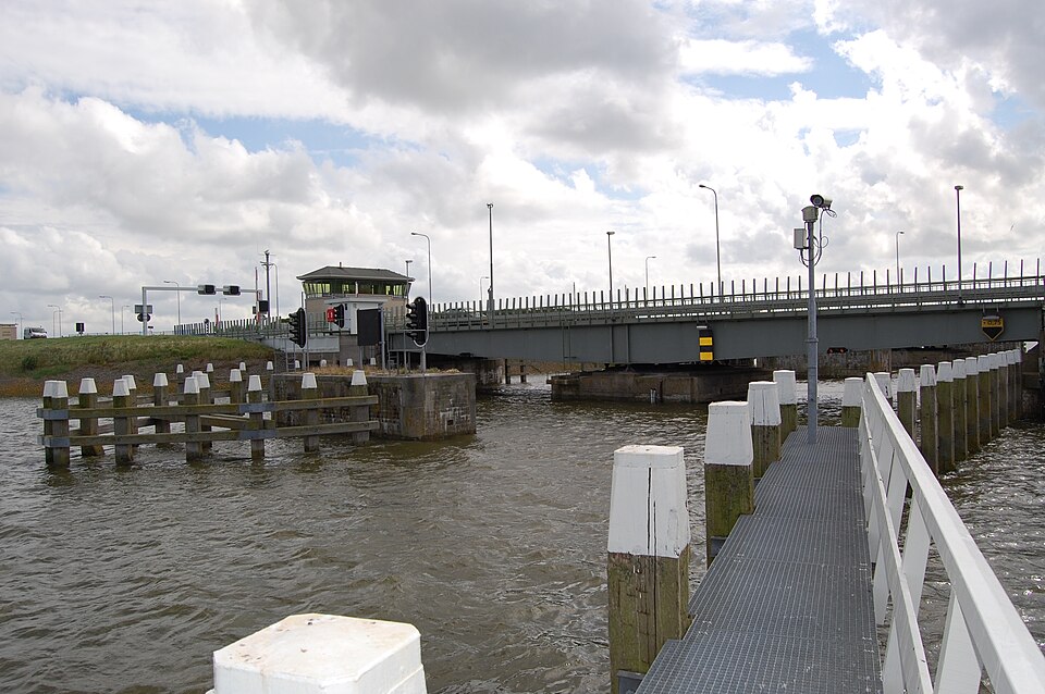
The Netherlands swims in the North Sea, in large inland waters and in many small lakes. The shallow North Sea off the Hollandse Kust warms slowly and usually peaks in August or early September. Shallow inland waters such as the IJsselmeer and Markermeer warm up faster in early summer. The Rhine enters the country at Lobith and splits into many branches on its way to the Haringvliet, and flowing rivers stay a little cooler than still water.
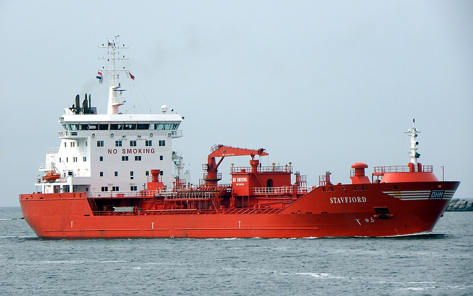
Rijkswaterstaat supplies the majority of the 149 sites, measuring continuously on rivers, canals, harbours and offshore, from Lobith and Amsterdam to IJmuiden and Den Oever. Additional measured North Sea values come from platforms and buoys distributed by the Copernicus Marine Service. Only a few places use the Open-Meteo marine model, and those values carry a model label. Smaller swimming lakes are hardly represented in this dataset so far.
The provinces test official bathing sites during the season and rate them from excellent to poor under the EU Bathing Water Directive. Blue-green algae can appear in lakes during warm spells, prompting warnings. Along the North Sea coast, rip currents form near groynes and breakwaters and can carry even strong swimmers away. Swimming in the major rivers is dangerous because of commercial shipping and strong current, and Rijkswaterstaat advises against it.
Netherlands, region by region
8 regions, each with today's range and its best-known spots. Tap one to open the region's list.


149 spots, 3 kinds of water
143 readings are measurements from official and open networks, above all Rijkswaterstaat and Copernicus Marine Service; 6 values come from models. Beyond temperature, this page carries 19 official bathing-water ratings, tides for 34 coastal spots, water level or discharge at 51 gauges and wave height at 20 buoys.
© BrrChecker – all rights reserved. The compilation, texts, images and BrrScore are protected; the readings belong to the sources named. Automated extraction is not permitted.
The Netherlands measure through Rijkswaterstaat: Rhine, Meuse, IJsselmeer and the North Sea coast every ten minutes, complemented by the marine model for the beaches.
By region, with today's reading
North Sea26 spots
Hollandse Kust4 spots
Rilland4 spots
Haringvliet4 spots
Hengelo3 spots
Den Oever3 spots
IJmuiden2 spots
Lobith2 spots
Other waters and lidos101 spots
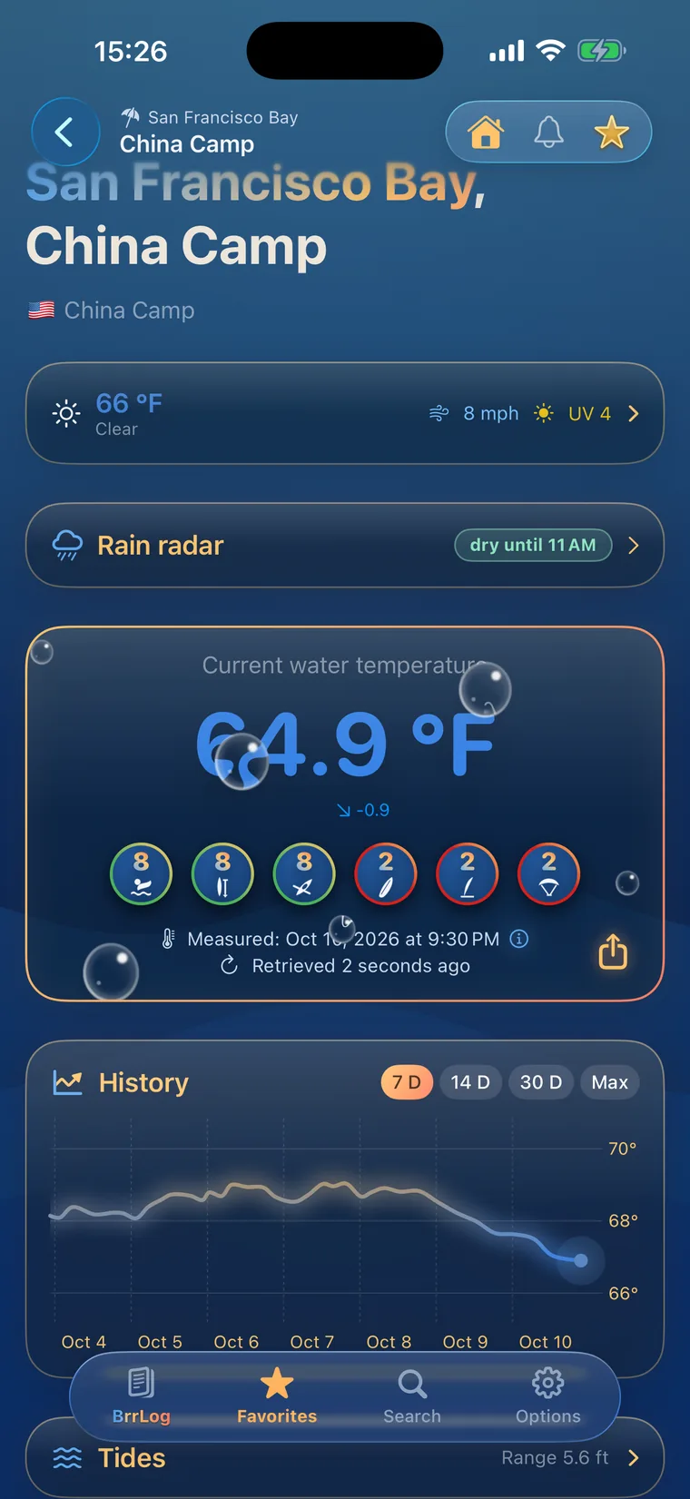
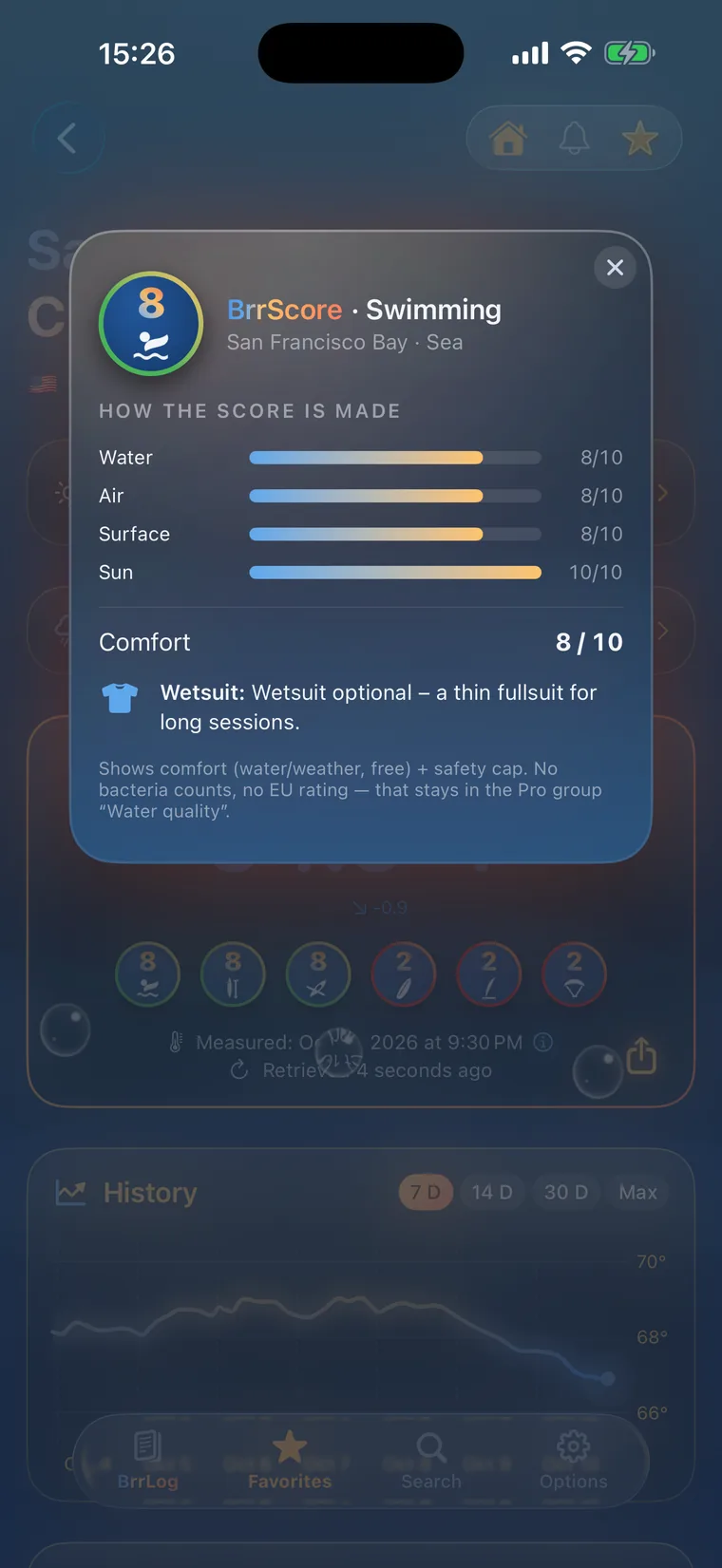
Check first, then swim.
All 149 spots with history, BrrScore and alerts, free in the app.