Water temperature in the United Kingdom
English Channel 20.8 °C, North Sea 20.5 °C, Celtic Sea 21.0 °C. The coldest spot is Rede, Birdhope Bridge at 8.5 °C. As of October 16, 2026, 616 locations from Environment Agency, Regional Coastal Monitoring Programmes and Cefas.
- coldest 8.5°
- average 17.0°
- warmest 21.0°
 History, BrrScore and warnings for every spot – in the app.
The warmest spot of each kind of water
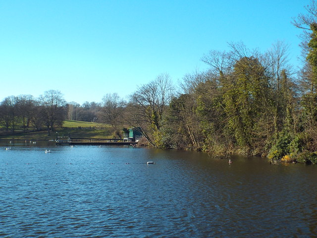
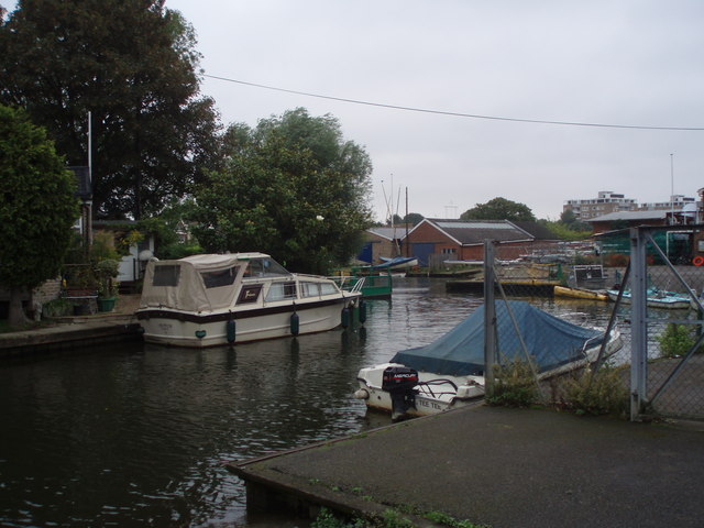
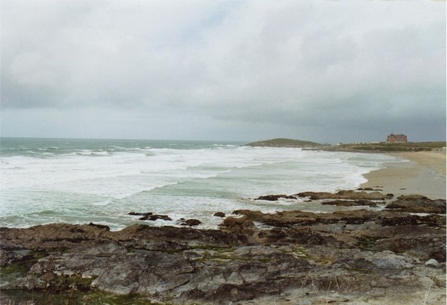
Sea swimming around the British Isles
Most swimming in the United Kingdom happens in the sea. The Channel coast, the Bristol Channel and Cornwall benefit from the North Atlantic Drift and are usually a touch milder than the North Sea coast in the east. The sea warms slowly and tends to peak in late August or early September, so June swims are still bracing. Inland, rivers such as the Thames, Stour and Avon and lakes like Windermere in the Lake District draw a growing community of open-water swimmers.
Of the 617 sites, the majority come from the Environment Agency, which measures at bathing waters across England and along rivers. The Regional Coastal Monitoring Programmes contribute readings from their wave buoys, and Cefas operates measuring buoys further offshore. DAERA/NIEA add stations in Northern Ireland. Beaches without a sensor of their own show the value of the nearest buoy and are marked as such. A handful of places use the Open-Meteo marine model, labelled as model values.
Designated bathing waters are sampled through the season and classified as excellent, good, sufficient or poor. After heavy rain, storm overflows can briefly affect water quality, and many beaches post advice when that happens. Tides and rip currents are the main hazards along the coast, and lifeguarded beaches mark the safest area between red and yellow flags. Because the water stays cool even in summer, it pays to get in gradually and keep swims within your comfort zone.
United Kingdom, region by region
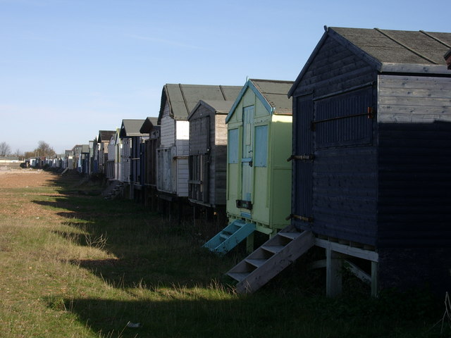
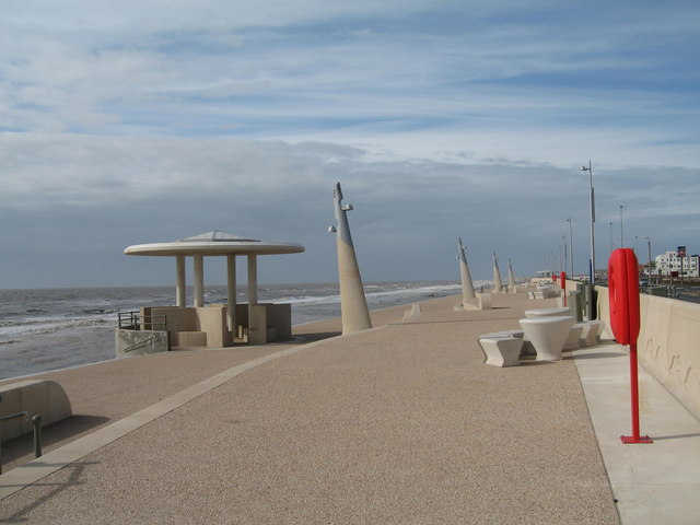
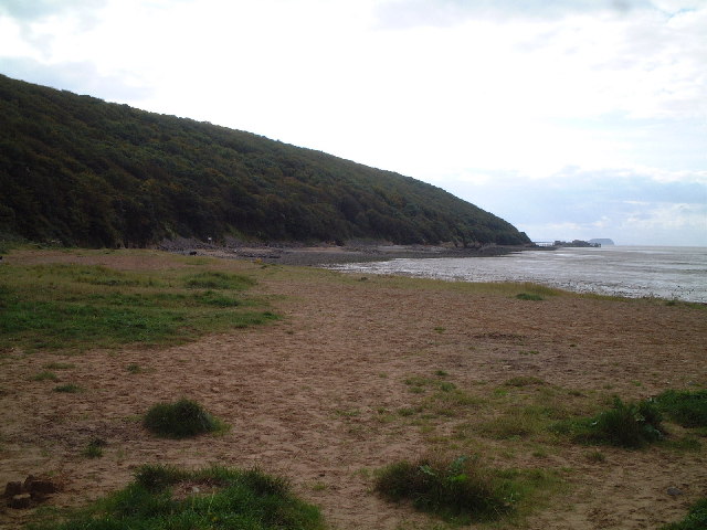
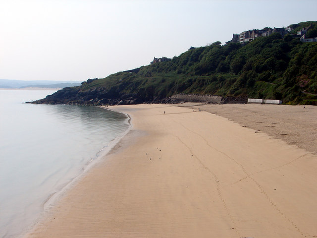
8 regions, each with today's range and its best-known spots. Tap one to open the region's list.
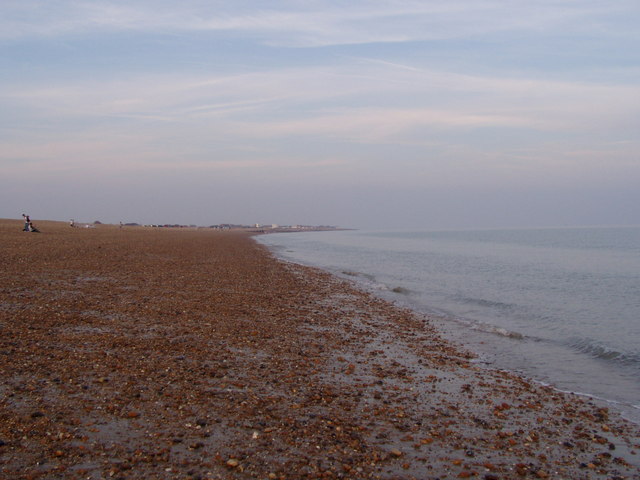
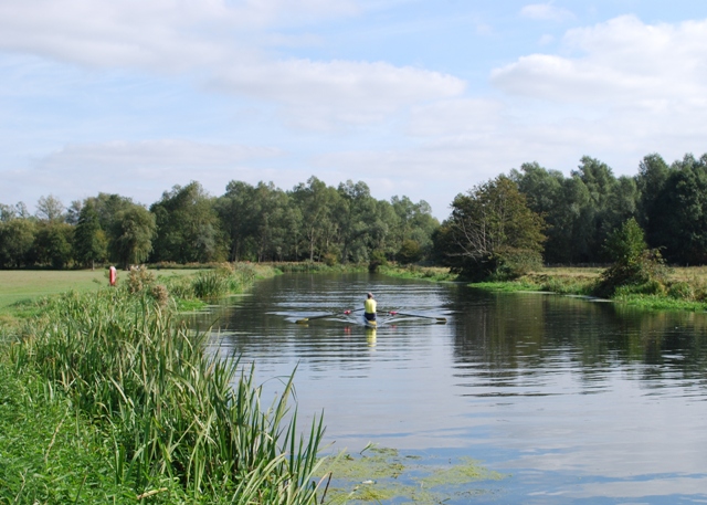
616 spots, 3 kinds of water
© BrrChecker – all rights reserved. The compilation, texts, images and BrrScore are protected; the readings belong to the sources named. Automated extraction is not permitted.
611 readings are measurements from official and open networks, above all Environment Agency, Regional Coastal Monitoring Programmes and Cefas; 5 values come from models. Beyond temperature, this page carries tides for 475 coastal spots and wave height at 77 buoys. Added in the last 30 days: Irish Sea, South Hunter (Larne), Irish Sea, Briggs (Belfast Lough) and North Sea, Stnhvn and 1 more.
By region, with today's reading
English Channel206 spots
North Sea150 spots
Celtic Sea82 spots
Irish Sea32 spots
Bristolkanal21 spots
Atlantic13 spots
Thames9 spots
Stour5 spots
Other waters and lidos98 spots
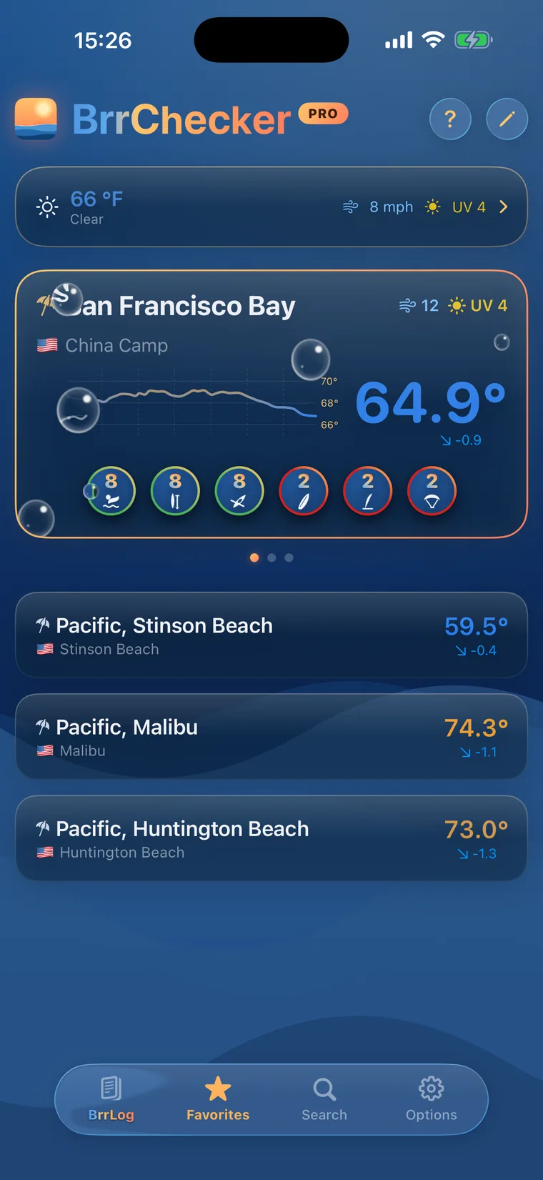
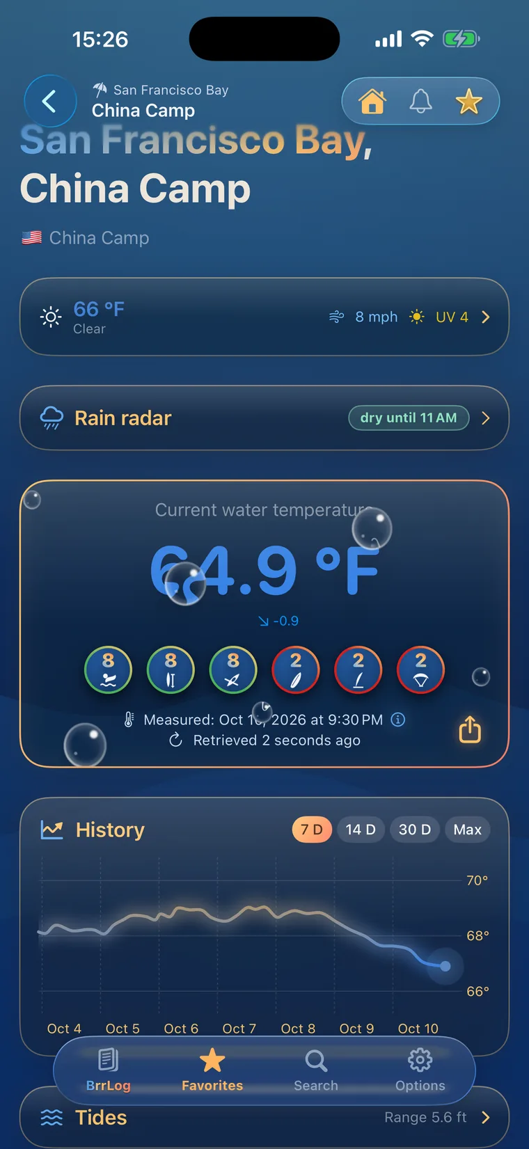
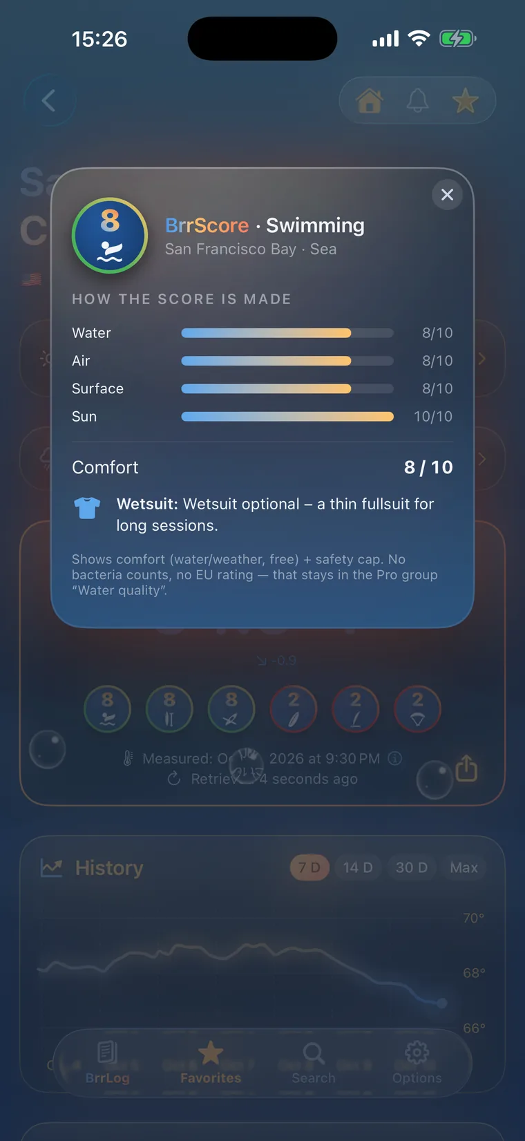
Check first, then swim.
All 616 spots with history, BrrScore and alerts, free in the app.