Water temperature in the United States
Atlantic 34.9 °C, Pacific 30.4 °C, Gulf of Mexico 35.9 °C. The coldest spot is Niukluk River, Melsing C at Council, Alaska at 0.1 °C. As of October 16, 2026, 3,282 locations from USGS, NOAA NDBC and NOAA CO-OPS.
- coldest 0.1°
- average 17.5°
- warmest 35.9°
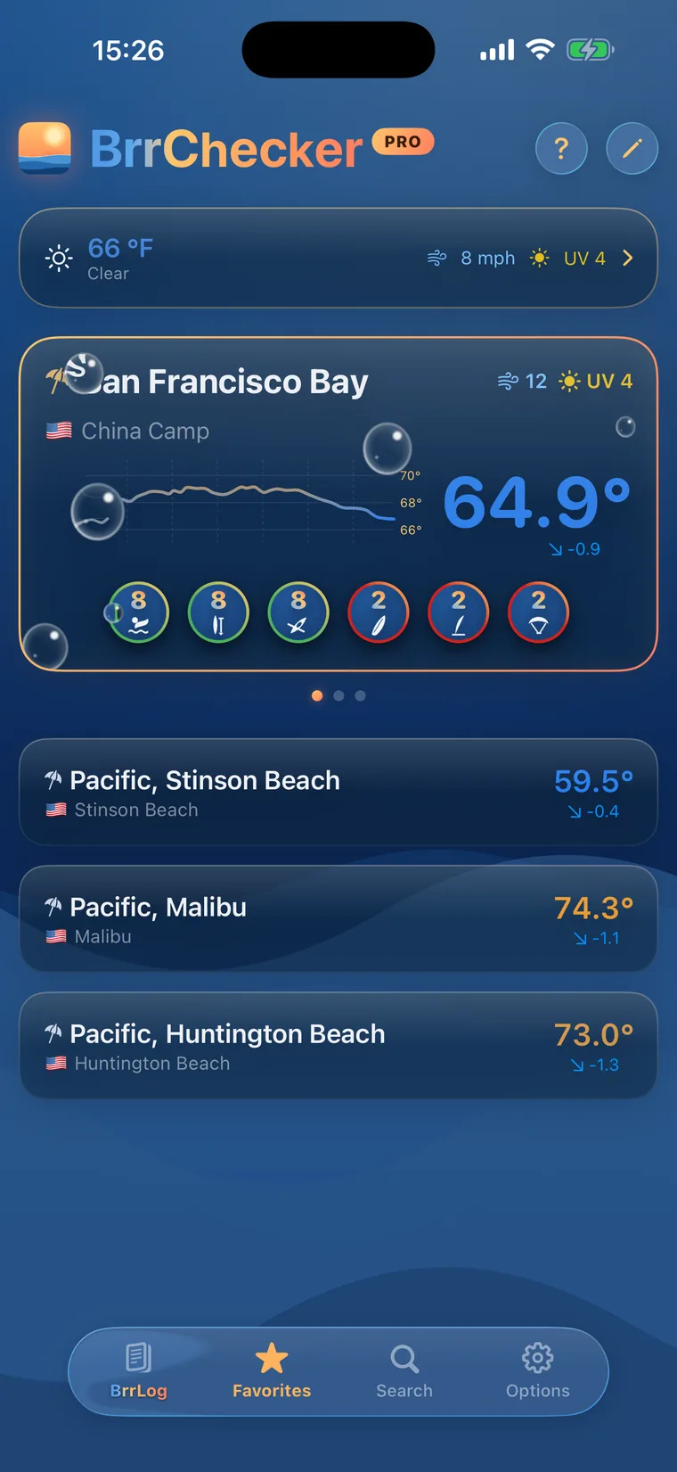
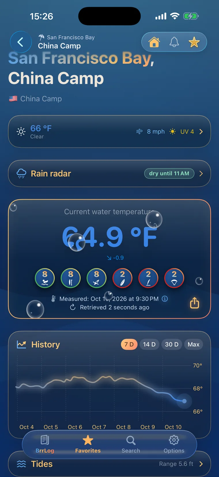
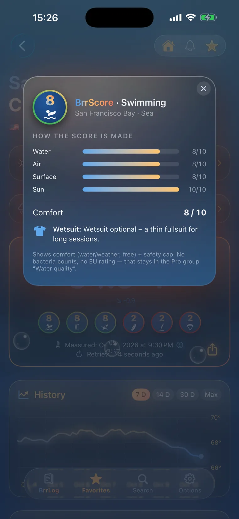
 History, BrrScore and warnings for every spot – in the app.
The warmest spot of each kind of water
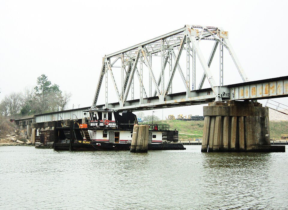

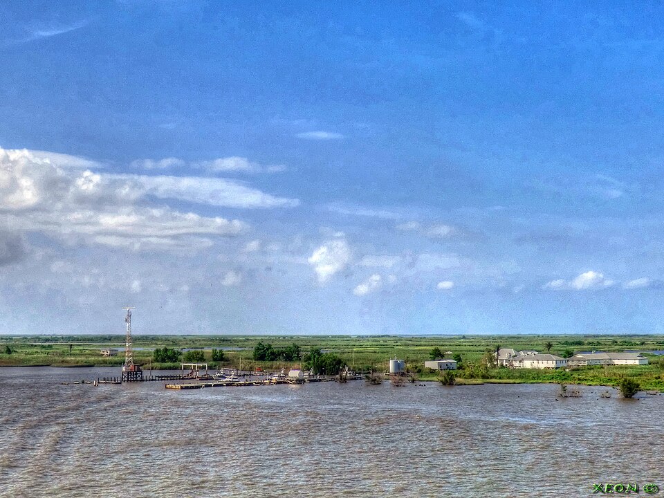
Water temperatures from coast to coast
The United States stretches across very different swimming climates. The Gulf of Mexico and southern Florida are warm enough for a swim through most of the year, while the Great Lakes, Maine and the Pacific Northwest offer a short window that peaks in July and August. California's Pacific coast stays brisk even in high summer because cold water wells up from the depths along the shore. Inland rivers and smaller lakes warm quickly once summer arrives and cool just as fast in autumn.
This page draws on 3273 monitoring sites. The USGS supplies the bulk of them, with 2209 river and lake stations. NOAA NDBC buoys cover the open ocean and the Great Lakes, NOAA CO-OPS adds tide and harbor stations along the coast, and NOAA NERRS SWMP contributes sensors in estuaries. Where a beach has no sensor of its own, it shows the reading of the nearest official station and says so. A small number of coastal spots rely on the Open-Meteo marine model, and those values carry a model label.
Rip currents are the main hazard on Atlantic and Gulf beaches. Lifeguarded beaches post flags for current conditions, and anyone caught in a rip should swim parallel to the shore rather than against it. States and local health departments sample beach water through the season and issue advisories when bacteria levels rise. On the Great Lakes, wind and waves can change within hours, and a strong offshore wind can pull cold water up to the surface near the beach.
United States, region by region
8 regions, each with today's range and its best-known spots. Tap one to open the region's list.
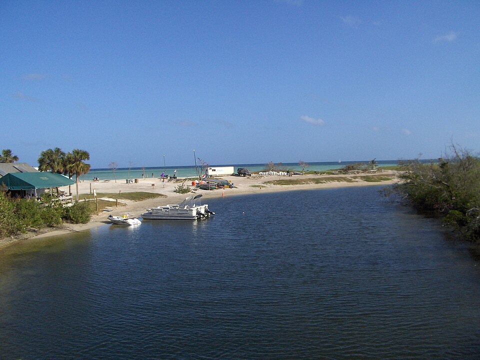
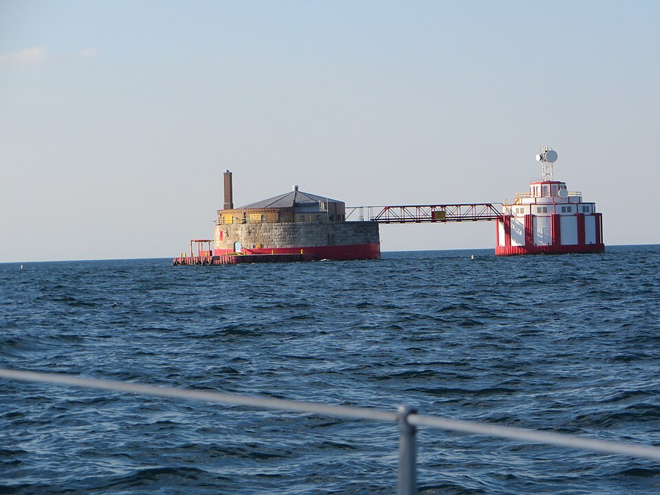

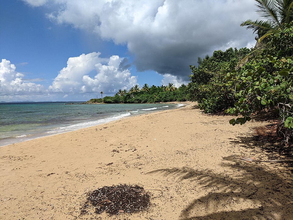
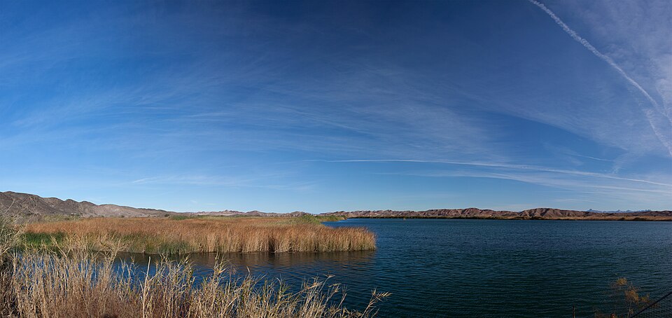
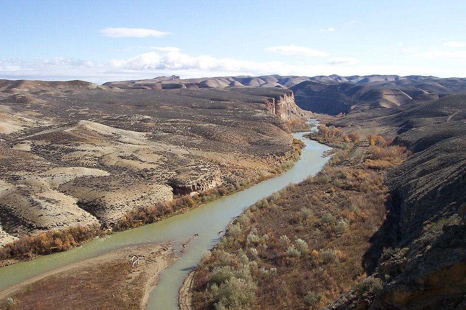
3,282 spots, 3 kinds of water
3,241 readings are measurements from official and open networks, above all USGS, NOAA NDBC and NOAA CO-OPS; 41 values come from models. Beyond temperature, this page carries 415 official bathing-water ratings, tides for 598 coastal spots, water level or discharge at 1,754 gauges and wave height at 246 buoys. Added in the last 30 days: Cooper C, Siphon Outlet near Cooper Landing, Alaska, Dry C, Galt, California and Coyote C, Edenvale, California and 16 more.
© BrrChecker – all rights reserved. The compilation, texts, images and BrrScore are protected; the readings belong to the sources named. Automated extraction is not permitted.
The United States is the largest network in the app: USGS gauges on rivers from Alaska to Florida, NOAA NDBC buoys and CO-OPS tide stations on every coast, the estuary sondes of the National Estuarine Research Reserves, Chicago's beach sensors and the nearshore probes off Oahu. Add 170 beaches that carry the reading of the nearest official station within two kilometres.
By region, with today's reading
Atlantic324 spots
Pacific273 spots
Gulf of Mexico173 spots
Lake Michigan41 spots
Lake Erie40 spots
Karibik32 spots
Colorado River23 spots
White River17 spots
Other waters and lidos2,359 spots
Check first, then swim.
All 3,282 spots with history, BrrScore and alerts, free in the app.